
Find Rancho Santa Margarita Streets
Begin with one complete street address. The address is the human clue. The APN, or Assessor Parcel Number, is the county property key. A street directory search becomes more reliable when the APN stays attached to every note and every follow-up record. The Community Viewer can locate the parcel, show its boundary, and expose HOA, zoning, service, school, and water-district layers before any ownership conclusion is made. In Rancho Santa Margarita, the address is the starting point, not the final identity claim.
Run the address trail in order. The sequence keeps map facts, title facts, and household clues from blending together.
- Enter the address in the Rancho Santa Margarita Community Viewer and identify the parcel.
- Record the APN, city boundary, HOA, and nearby parcel relationship.
- Carry the APN and owner name into the Orange County assessment and deed systems.
- Check permits, planning files, or code records for dated work at the address.
- Use a reverse directory or a qualified public-record channel only for the lawful purpose it permits.
Rancho Santa Margarita Street Maps
The official GIS page points to the city Community Viewer. It accepts an address or APN, then lets a researcher pan, zoom, click a parcel, and turn map layers on or off. Documented layers include aerial photography, city boundary, property lines, HOA, utilities, fire hazard, schools, water districts, trash pickup, street sweeping, zoning, and land use. This is the key street-browse tool in the Rancho Santa Margarita street directory workflow.
| Viewer control | Use in an address search |
|---|---|
| Address | Locate a specific property or street segment |
| Assessor Parcel Number | Open the parcel tied to county property records |
| Map pan and zoom | Browse nearby parcels and corner lots |
| Identify or click parcel | Open available parcel attributes |
| Layer list | Compare boundary, HOA, district, service, zoning, and land-use context |
| Search or clear | Start a new location or reset the map |
The city warns that map information comes from several sources and may be incomplete or supplied as available. Use the viewer to form a record lead. Confirm a consequential parcel, boundary, or land-use fact with the Rancho Santa Margarita city or Orange County office.
Rancho Santa Margarita Street Pins to APNs
A parcel is a mapped piece of land identified by an APN. It may hold one structure, several structures, or a shape that does not match the nearest street number. A plat is the recorded map that lays out lots, roads, and easements. Those terms matter when a street label is vague or a corner parcel seems to have more than one address.
- Parcel
- A mapped unit of land used by property and tax systems.
- APN
- The Assessor Parcel Number that links the map to county property data.
- Situs address
- The physical location being assessed, distinct from an owner's mailing address.
- Plat
- A recorded map that defines lots, roads, and related land boundaries.
- Criss-cross directory
- A reverse directory arranged by address or phone rather than surname.
Keep the APN with the street name, unit information, and map date. If two web results use a similar address, the parcel key shows whether they refer to one property or two. In Rancho Santa Margarita, the APN then becomes the handoff to the assessment roll, recorder index, permit file, and tax record.
Note: In Rancho Santa Margarita, the APN is the bridge from a street clue to county property and deed records.
Rancho Santa Margarita Street Address Fields
The assessment roll separates ownership evidence from occupancy evidence. The situs is the property. The owner mailing address is where assessment notices go. A matching mailing and situs address can support an owner-occupancy clue, but it does not identify every person at the address. A different mailing address may reflect a trust, an entity, another home, or a chosen notice address. Avoid turning that field into a statement about where a person sleeps.
The Orange County Assessor's property gateway leads to ParcelQuest and does not promise a free owner-name search. The county's official counter is the fallback for assessment information, maps, property characteristics, exemptions, and questions about historical roll availability. The main real-property and maps number is 714-834-2727. The Mission Viejo satellite is the closest counter to Rancho Santa Margarita and operates Monday through Friday from 8 to 5, closing noon to 1.
The homeowners' exemption can be an owner-occupancy clue, not a household list. Trust or entity ownership may require a separate Secretary of State or recorder trail. These distinctions keep the street directory honest.
Rancho Santa Margarita Street Records
Address-keyed records line up through the parcel, not through a universal street roster. The coverage table shows the proper role of each source. Some records are free online. Others require a counter visit, a paper request, a qualified purpose, or a copy order. Rancho Santa Margarita street records are therefore a chain of sources, not one public list.
| Record set | Keeper | Street evidence | Access |
|---|---|---|---|
| Community Viewer | City of Rancho Santa Margarita | Parcels, APNs, HOA, districts, zoning, service layers | Free map |
| Assessment roll | Orange County Assessor | Assessed owner, mailing and situs context, values | Gateway or counter |
| Recorded instruments | Orange County Clerk-Recorder | Parties, recording dates, liens, easements, title chain | Free index, copies ordered |
| Permits and code files | RSM Development Services | Applicant, owner, contractor, scope, dates, inspections | Request or counter |
| Voter records | California and Orange County election offices | Limited address information for approved purposes | Purpose restricted |
| Reverse directories | OCPL and licensed collections | Listed subscriber or occupant at an address | Incomplete, exact years vary |
The APN links the map to property records. The owner name links property records to a grantor or grantee search. Permit and code files add dated physical change. A reverse directory adds a listed contact clue. No row alone is a complete list of who lives on a Rancho Santa Margarita street.
Rancho Santa Margarita Street Parcels
After the target parcel is identified, pan along the street and click adjacent lots one at a time. Keep property lines visible. Corner lots, private roads, cul-de-sacs, and parcels with a mailing address on a different road can break a simple address sequence. A separate note for each APN prevents a similar owner name from moving onto the wrong lot.
Use aerial imagery to compare the map shape with the built form. Then record the HOA or district layer before following an association contact. The city inventory distinguishes SAMLARC from Dove Canyon, Robinson Ranch, Rancho Cielo, Trabuco Highlands, and Walden. That community label can route a project or street-maintenance question to the right private association.
Street-by-street work is slower than a name list, but it preserves the geography. It also makes clear where the map ends. The Community Viewer has no documented bulk neighbor-owner export or radius report. Manual parcel clicks are the supported research description.
Note: Rancho Santa Margarita parcel adjacency is a map finding, not proof that a household shares a boundary or road.
Rancho Santa Margarita Street Deed Trails
Orange County's Grantor/Grantee Index is person based. An address is not its dependable search key. Use the parcel and assessment roll to identify a present owner, then search that owner as a grantee to find an acquisition deed. Read the seller, legal description, recording date, and instrument number. Search the seller as a grantee in an earlier range. Repeat until the chain reaches the period of interest.
Grantor means the party conveying or encumbering an interest. Grantee means the party receiving an interest. The web index supplies a pointer and no document image. Pre-1982 copies use book, page, or instrument information where available. From 1982 forward, the recorder identifies documents by recording year plus a six-digit instrument number.
Orange County copy instructions set the copy fee at $1 per page plus $1 certification per document or map. Mail requests go to the Santa Ana recorder address and need a self-addressed stamped envelope and payment. Staff do not perform a telephone, counter, or mail search for the requester.
The Orange County official-record copy page is the source shown in the street directory capture.
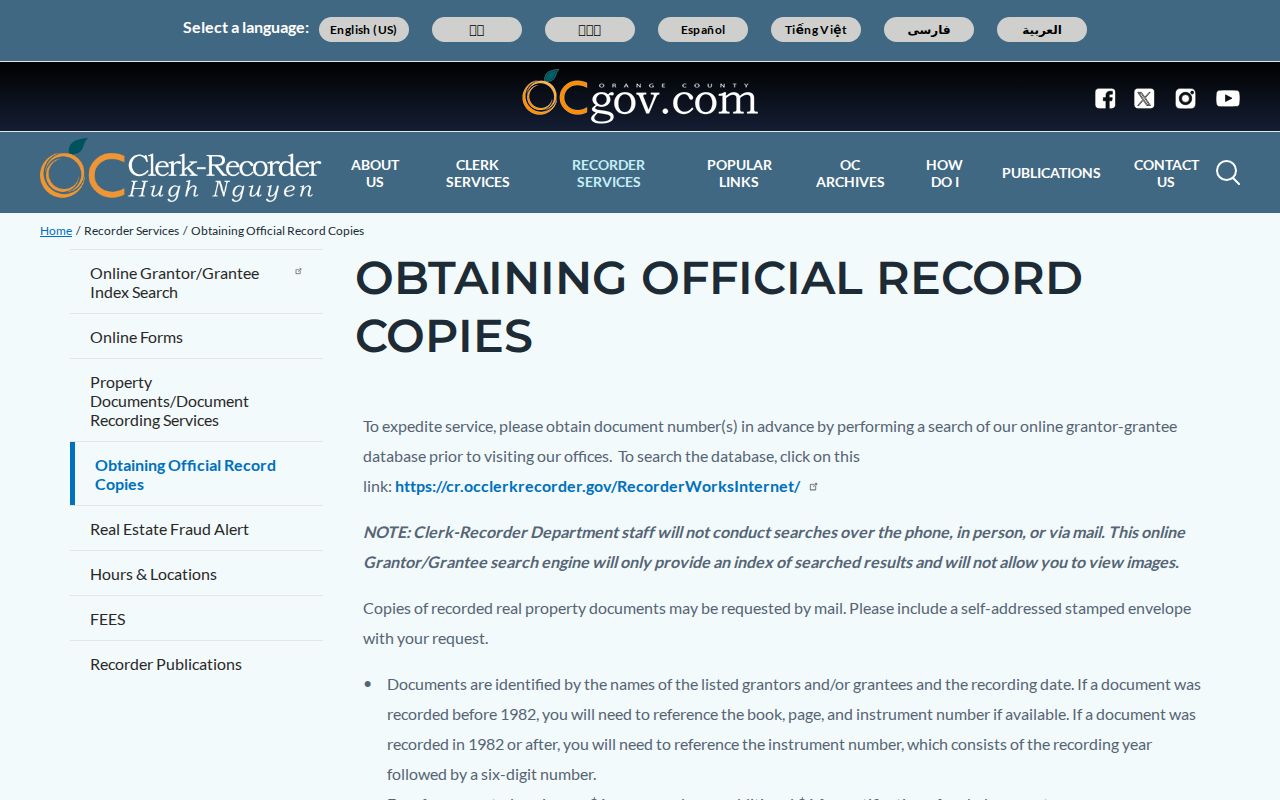
The official copy workflow shows why a street directory result must carry the instrument or book-and-page pointer into the next request.
Rancho Santa Margarita Street Permit Dates
Building and planning files can connect an address to an owner, owner-builder, architect, contractor, application, plan set, valuation, inspection, or final status. Rancho Santa Margarita permits cover buildings, additions, accessory structures, pools, reroofing, electrical and solar work, plumbing, heating, and demolition. Public Works handles grading and encroachment permits. A standard plan submittal includes an application, fees, site plan, three plan sets sized 18 by 24 inches, and a work description.
A permit dates physical change. It does not prove who occupied the property. City-held files also split at incorporation. Post-2000 municipal files begin with Development Services. Earlier work may be in Orange County systems or archives. The city Development Services page supplies Building, Code Enforcement, GIS, and Planning contacts, while the forms page holds current permit forms and fee schedules.
Rancho Santa Margarita permit forms are the first online stop. Use the Development Services contacts for a focused address request. Ask for a project name, permit number, or date range rather than an open-ended resident search.
The Rancho Santa Margarita forms and handouts page is the source shown in the permit capture.
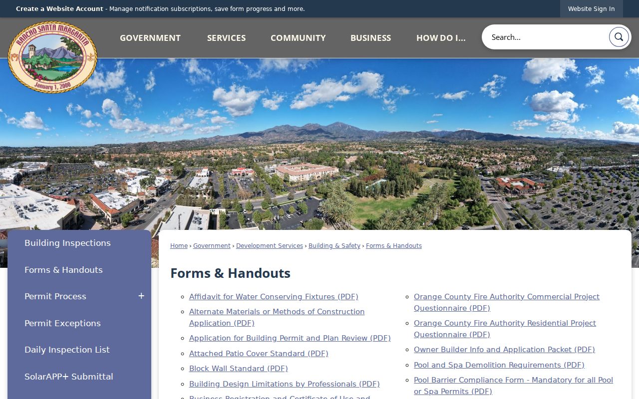
The forms page illustrates the city-side records trail that complements the county property chain.
Rancho Santa Margarita Reverse Directories
A reverse or criss-cross directory begins with a street or telephone number instead of a surname. An entry may show a listed subscriber, occupant, spouse notation, occupation, telephone number, business address, or an owner or renter mark if that volume used one. Those clues are useful for tracing a household, but entries can lag moves, omit unlisted numbers, and abbreviate names.
Rancho Santa Margarita's developed era starts in 1986. Ask OCPL for regional titles under Rancho Santa Margarita, Mission Viejo, Saddleback Valley, Trabuco Canyon, and named developments. Ancestry Library Edition is available with full library privileges inside a branch. HeritageQuest and newspaper resources add context. The historical city directory collections receive the detailed shelf treatment; a street directory uses them only for an address lead.
Pair an entry with a deed, assessment record, permit, newspaper, or obituary. One line in a reverse directory should never become a claim that every person at the address belonged to one household.
Note: A Rancho Santa Margarita reverse-directory entry is a listed-contact clue whose year, address, and abbreviation key must be recorded.
Street Names Before Rancho Santa Margarita
No official source found a citywide street-renumbering year for Rancho Santa Margarita. The documented trap is a place-name and jurisdiction change. The master-planned community grew from county territory, and the city incorporated in 2000. Older permits, maps, newspapers, and directories may use Trabuco Canyon, Robinson Ranch, Dove Canyon, Rancho Cielo, Trabuco Highlands, Walden, or another development label instead of the current city name.
When a street lookup fails, search the older community label and verify the parcel through a tract map or aerial layer. The legal description can stay stable while an address label changes. The durable chain is address to APN to tract or lot to recorded instrument. Do not invent a renumbering date or force a modern ZIP into a predevelopment source.
Rancho Santa Margarita Private Streets
Some Rancho Santa Margarita associations maintain private streets, signs, lighting, traffic devices, and security. That local structure explains why a city Public Works search may be silent for a road or improvement. The city HOA inventory identifies SAMLARC, Dove Canyon, Rancho Cielo, Robinson Ranch, Trabuco Highlands, Walden, SAMCORP, and the Community Associations of Rancho. It lists managers or coordination contacts, not a public membership roster.
Association records are private organizational records. They are not automatically subject to California's Public Records Act. A manager may explain its own request rules, but a city page should not be treated as a list of residents. For street-history research, an association newsletter, board record, emergency plan, or project notice can add dates and community context without exposing a household list.
The HOA layer is one reason a street directory must distinguish city geography from community governance. The map can identify the association covering a parcel. The association decides what it can release.
Rancho Santa Margarita Street Limits
A street directory cannot lawfully provide a DMV address, utility subscriber list, confidential voter address, or complete household roster. The assessment roll omits non-owner household members. A deed records ownership or an encumbrance, not daily occupancy. A permit names people connected to a project, not everyone who lives behind the door. A reverse directory covers listed contacts only.
Lawful use. Rancho Santa Margarita address records are for personal, lawful research. Do not use a street directory to stalk, harass, intimidate, trespass, or defeat a confidentiality program.
California restricts voter-file release by purpose under Elections Code section 2194. The federal Driver's Privacy Protection Act closes ordinary DMV address searches. Safe at Home and court sealing rules protect people whose addresses should not be republished. A careful street directory states what the source actually shows and leaves the rest private.
Note: Rancho Santa Margarita street records should name the source role and leave unverified household details out.