
Rancho Santa Margarita ZIP Codes
Two ZIP codes matter for Rancho Santa Margarita research. ZIP 92688 is the principal postal identity for the core planned community. ZIP 92679 covers Trabuco Canyon postal geography and touches eastern communities associated with Rancho Santa Margarita. The exact carrier boundary must be checked address by address. No official source in the research established a PO-box-only or unique institutional ZIP inside the city, and no documented split year was found.
| ZIP code | Areas served in or around the city | Post office or route | Important note |
|---|---|---|---|
| 92688 | Core Rancho Santa Margarita, Town Center, Lake and Central RSM, Melinda Heights, and much of SAMLARC | Rancho Santa Margarita Post Office, 29862 Avenida de las Banderas | Principal city ZIP; not proof of city limits |
| 92679 | Trabuco Canyon postal geography and eastern communities tied to Dove Canyon, Robinson Ranch, Trabuco Highlands, Rancho Cielo, and Walden | Trabuco Canyon and Rancho-area carrier conventions | Verify each edge address with USPS |
The main post office is at 29862 Avenida de las Banderas, Rancho Santa Margarita, CA 92688-9998, with the listed phone 949-888-1533. The USPS location record supplies the facility detail. Postal routing and municipal geography answer different questions.
92688: Rancho Santa Margarita's Core ZIP
ZIP code 92688 covers the core planned community and is the strongest first guess for a Rancho Santa Margarita mailing address. Town Center, Lake and Central RSM, Melinda Heights, and much of SAMLARC use this postal identity. The post office page confirms the facility and ZIP, while the city GIS layer confirms whether a particular point falls inside the incorporated boundary.
A postal sort organized around 92688 can help group addresses before a parcel search. It cannot reveal every person in the ZIP. Use the full street address to open the Community Viewer, identify the APN, and then move to the record type that answers the question. Keep a mailing label separate from the situs and legal description.
The USPS ZIP Code Lookup form is the source shown in the postal capture.
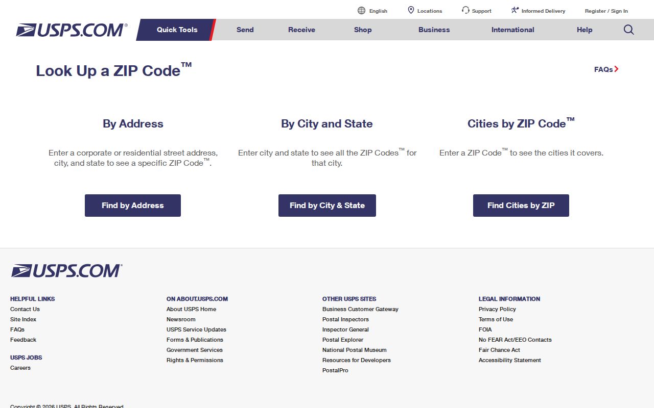
The USPS lookup screen is the right place to verify the postal assignment before grouping an address by route.
92679 and Rancho Santa Margarita's East
ZIP code 92679 is the boundary trap. Trabuco Canyon postal conventions and eastern communities can sit close to, or overlap the way researchers describe, Rancho Santa Margarita's municipal edge. Dove Canyon, Robinson Ranch, Trabuco Highlands, Rancho Cielo, and Walden appear in the local geography and association records. The postal city line should not be used as a substitute for the city GIS boundary.
For an edge address, run USPS first. Then open the same point in the city Community Viewer and turn on the city-boundary, parcel, HOA, and water-district layers. The result may show a Rancho Santa Margarita parcel with a neighboring postal identity or a postal address that sits outside the incorporated line. That is a geography result, not an error.
Verify Rancho Santa Margarita ZIP Addresses
A reliable postal directory begins with two checks. USPS answers how the carrier routes the full address. City GIS answers where the physical point and parcel sit. The two tools do not share a single city or ZIP database, so a mismatch is possible and useful.
| Tool input | Result to record |
|---|---|
| USPS full address | Verified delivery ZIP and postal city convention |
| City GIS address | Parcel, APN, city boundary, HOA, and district layers |
| City GIS APN | Durable property key for the county assessment trail |
| Map layers | Water, school, zoning, land use, fire hazard, and service context |
The USPS ZIP Code Lookup verifies delivery geography. The RSM GIS page supplies the city viewer and its parcel layers. Together they prevent a ZIP code assumption from driving a false city record search.
The official GIS maps page is the source for the boundary and parcel-viewer route used after USPS supplies the postal result.
The official Rancho Santa Margarita GIS maps page is the source shown in the boundary capture.
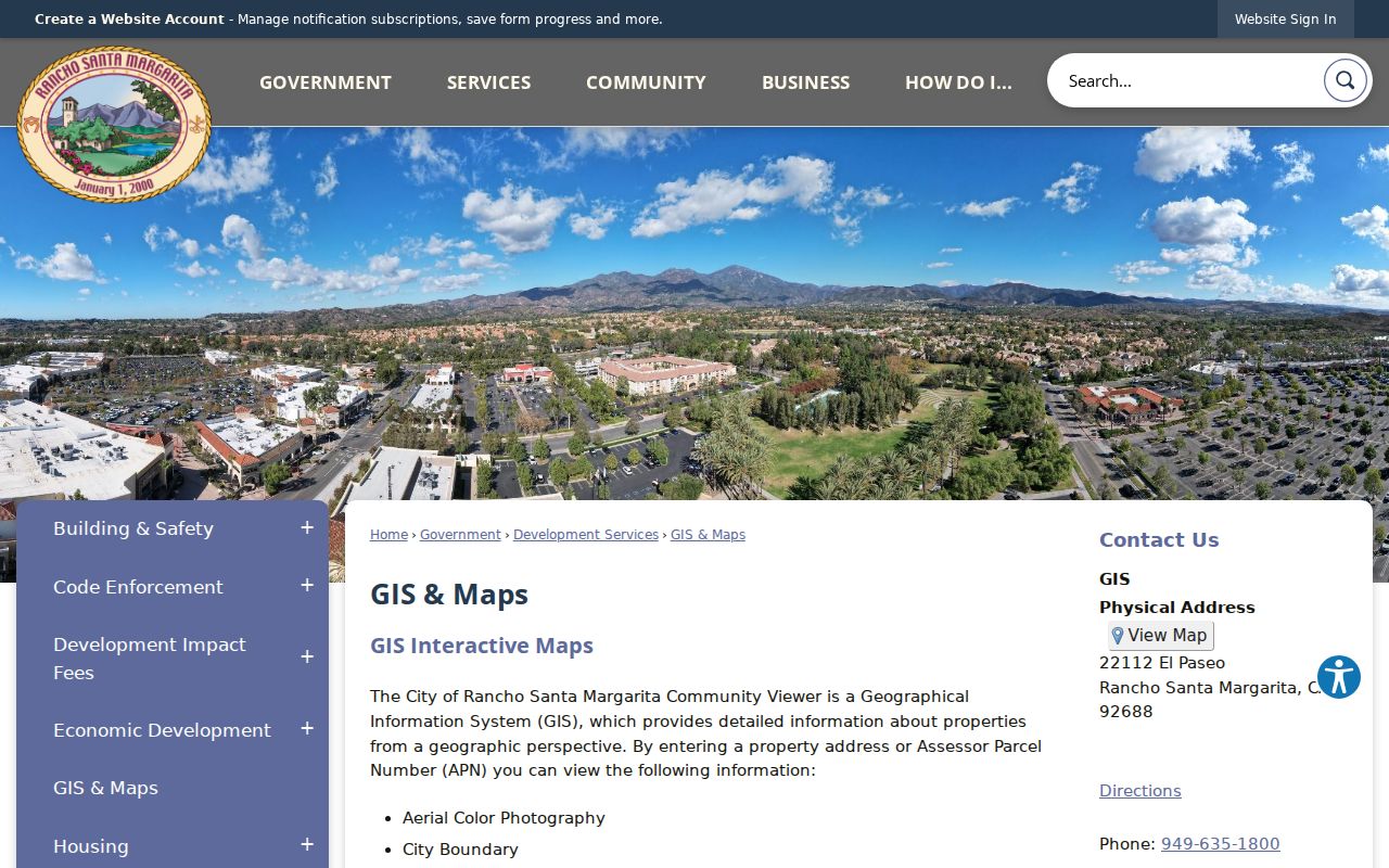
The city map view supplies the second half of the ZIP check: physical parcel and city-boundary context.
Note: Rancho Santa Margarita ZIP verification needs both a USPS delivery result and a GIS boundary check.
Find Rancho Santa Margarita Residents by ZIP
A ZIP code search should narrow an address set, not promise a name list. Local tools do not advertise a public ZIP-wide household query. The Community Viewer accepts an address or APN, not a ZIP filter. The Assessor gateway does not promise a free ZIP-wide owner search. OC Vote Data Central filters by city, district, and year, not residential ZIP. DCA's advanced search uses city and county; public license files may include ZIP fields for lawful analysis.
- Verify the full address and ZIP with USPS.
- Check the same point in GIS and save the APN and city-boundary result.
- Use the assessment and deed sources for property or recorded-party questions.
- Use aggregate city or district counts when the question is civic scale.
- Move from ZIP to street only after the parcel and boundary are clear.
Once a ZIP narrows the area, the Rancho Santa Margarita street directory handles parcel-by-parcel work. A postal directory should hand off to that address chain rather than repeat an unsupported bulk search.
Rancho Santa Margarita ZIP Search Limits
Property systems are built around parcels and APNs. Court systems are built around case names and numbers. Voter systems are purpose restricted. Library directories are collections with their own titles and years. None is a master resident list. A bulk query would also blur owner, occupant, business, and protected-person categories.
OC Vote Data Central is the clean public aggregate option. Its selectors include city, district, and year. It can supply a Rancho Santa Margarita count or trend without exposing individual registration records. Use that scale for civic context. Use a parcel, case, or library collection for a specific record question.
A postal sort can still be useful as an intake sheet. Sort verified addresses into 92688 or 92679, flag an edge address, and carry the APN forward. For a business or professional record, the city and county fields in DCA's advanced search are more meaningful than a guessed ZIP filter. For an election question, city and district totals are the public aggregate path. For land, the parcel remains the key.
For scale only, Census QuickFacts supplies population, land-area, and demographic context for the city. It is not a resident directory and should not be treated as one.
The absence of a ZIP filter is therefore a feature of the record design, not a missing button. Search the field the custodian actually maintains.
Note: A Rancho Santa Margarita ZIP search narrows geography, but it does not create a public resident roster.
Rancho Santa Margarita Situs and Mailing ZIP
Three address concepts often get mixed together. Situs is the physical land location. Mailing address is where an owner receives notices. Legal description is the tract, lot, or metes-and-bounds language that controls a recorded title. A mailing ZIP may differ from the property's delivery ZIP. A legal description may remain stable when street labels change.
The Orange County assessment trail can show the owner mailing and situs distinction. The city GIS layer shows parcel geography. The recorder index carries party names and legal descriptions. A postal directory should preserve all three fields rather than replacing them with one postal line.
Practical check. Save the USPS result, GIS boundary result, APN, situs, and owner mailing ZIP as separate facts.
Rancho Santa Margarita ZIP Boundaries
ZIP code boundaries are delivery routes. City limits are governmental boundaries. In Rancho Santa Margarita, 92688 is the core postal identity while 92679 conventions touch eastern communities. A postal city can extend past a city line, and a city parcel can use another postal identity. The mismatch affects property searches, association research, school and water layers, and older newspaper indexing.
- ZIP code
- A five-digit postal delivery area used to route mail.
- ZIP+4
- The extra four digits that narrow delivery within a ZIP route.
- PO-box ZIP
- A ZIP assigned mainly to post-office boxes; none was established inside the city by the reviewed research.
- Unique ZIP
- A ZIP assigned to one institution or organization; none was established inside the city by the reviewed research.
- Carrier route
- The delivery path used within a broader postal area.
No official city ZIP-boundary GIS layer or documented ZIP split year was located. Verify an edge address instead of inventing a boundary rule.
Rancho Santa Margarita Postal Neighborhoods
Neighborhood labels can be more useful than postal labels in local records. Town Center, Melinda Heights, Lake and Central RSM, Arroyo Vista and Tijeras Creek, and the eastern communities appear in planning, association, newspaper, and service records. A postal sort can group the delivery side, but a GIS or neighborhood term can find the right local file.
Use the address, neighborhood label, and APN together. A newspaper or HOA archive may favor the community name. The water-district layer can distinguish Santa Margarita Water District from Trabuco Canyon Water District, which helps route infrastructure and project questions without exposing customer accounts.
Note: Rancho Santa Margarita neighborhood labels may route a local file more accurately than a postal city line.
Before ZIP 92688: Rancho Santa Margarita
Modern ZIP code research should not be pushed backward past the community's development. The first homes sold in 1986, road links and extensions improved access in 1992, and incorporation occurred in 2000. A 1950 census, old deed, or county planning file will use a different geography. Search Trabuco Canyon, rancho history, tract and subdivision maps, aerials, and county-era permits.
For a house-history question, the tract and lot can connect open land to a later APN and deed chain. For a family-history question, a regional city directory or newspaper may be the better source. The postal lookup remains a current delivery tool, not a time machine.